The Breakdown
 |
| Classy homes along Irving Park Road |
An overview: Irving Park means more as a street to many
Chicagoans than as a neighborhood.
Those unfamiliar with the neighborhood probably don’t realize that it’s
safe, historic, and diverse. They
also don’t realize that it offers restaurants, bars, and music venues that
rival those in any other Chicago neighborhood. What this quiet part of the Second City lacks in quantity,
it makes up for in quality.
Irving Park can technically be broken up into a few smaller
neighborhoods. The western half is
often referred to as “Old Irving Park”.
Sometimes Mayfair and Kilbourn Park are considered parts of the Irving
Park community area as well. There
is a tiny historic section called “The Villa”, a triangle of hundred-year old
homesteads. An explanation of The Villa is shown below.
The boundaries: The boundaries of the Irving Park community
area are somewhat erratic, so it’s probably best to refer to the map at the
bottom of the page. Generally
though, they are Montrose to the north, Addison to the south, the Chicago River
to the east, and the Milwaukee District-North railroad tracks to the west. As you head further west in the community area, the northern boundary becomes Lawrence and the southern boundary becomes
Belmont.
 |
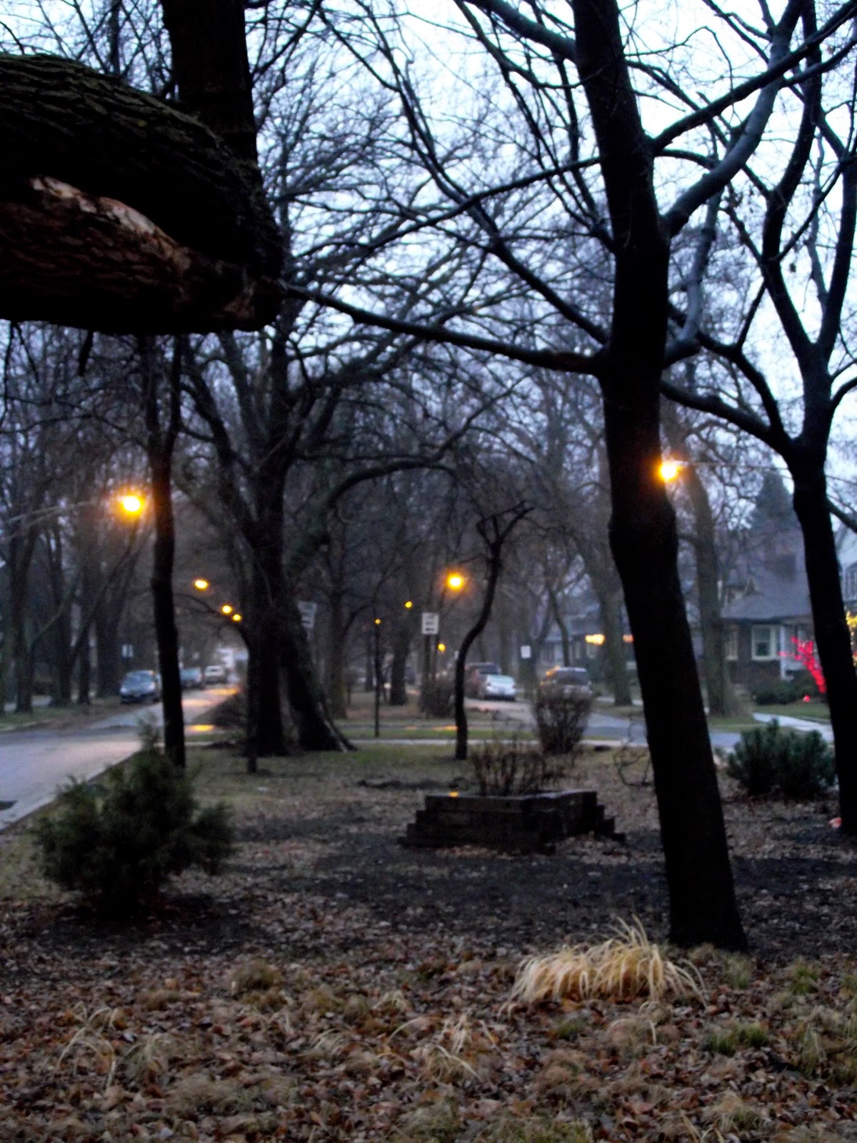
Tree-covered public space divides several of the
boulevards that run through the Villa District |
Population make-up: The Irving Park community area has seen a
gradual decrease in population since 2000. Between the 2000 census and the 2010 census, only one of Irving Park's fifteen
census
tracts actually grew in population, and even that (the area
around Kilbourn Park) only grew by 0.3%.
The 2010 population of the Irving Park community area was
53,359, a decrease of 9% from its 2010 census count of 58,643. The racial breakdown of the
neighborhood is 45.8% Hispanic, 41.7% white, 6.9% Asian, and 3.2% black.
A brief history: The Irving Park area was originally intended
to be a farming settlement.
However, realizing the value of the land due its proximity to downtown
Chicago,
Charles T. Race decided it was an
opportunity better suited for residential development. Originally an upscale suburb of
Chicago, it was
annexed into the City in 1889. The community area reached a population
of over 65,000 in the 1930, sparked by immigration, particularly from Eastern
Europeans in the preceding decade.
Over the years, Irving Park has become most well known for its historic
residential area, the
Villa District, a small residential triangle of land
still predominantly featuring bungalows nearly one hundred years old. The Villa’s borders are essentially
Pulaski Road to the west, Addison Street to the south, and the Kennedy
Expressway (I-90/94) to the northeast.
 |
| Commerce mixing with residential at Kimball & Elston |
Today Irving Park is often known as a safe, sleepy,
middle-class residential neighborhood.
However, it offers a surprising amount of amenities in terms of dining
and nightlife, notably
Arun’s,
a Chicago institution since the mid-80s and still considered one of the
nation’s very best Thai restaurants.
Recent decades have seen an influx of Hispanics into the neighborhood,
as well as in bordering Albany Park and Avondale.
Getting there: The “L” is a more-than-serviceable option. The Blue Line has three stops in the
neighborhood: Montrose, Irving Park, and Addison.
If travelling by bus, your best east-west bets are: Montrose
(78), Irving Park (80), and Addison (152). You can also take Lawrence (81) to the far northwest corner
and Belmont (77) to the far southwest corner of the neighborhood. Going north-south you can take Pulaski (53), Kimball (82), and
California (52). Also, the
Milwaukee bus (56) goes through a northwest-southeast sliver of the
neighborhood.